


Le Vanneau 2012

olaze
User
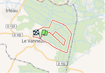

Length
8.6 km

Max alt
16 m

Uphill gradient
43 m
Km-Effort
9.2 km

Min alt
1 m

Downhill gradient
43 m
Boucle
Yes
Creation date :
2014-12-10 00:00:00.0
Updated on :
2014-12-10 00:00:00.0
2h09
Difficulty : Easy

FREE GPS app for hiking
 SityTrail
IGN / Geographical institutes
SityTrail Plus
The world is yours!
About
Trail Walking of 8.6 km to be discovered at New Aquitaine, Deux-Sèvres, Le Vanneau-Irleau. This trail is proposed by olaze.
Description
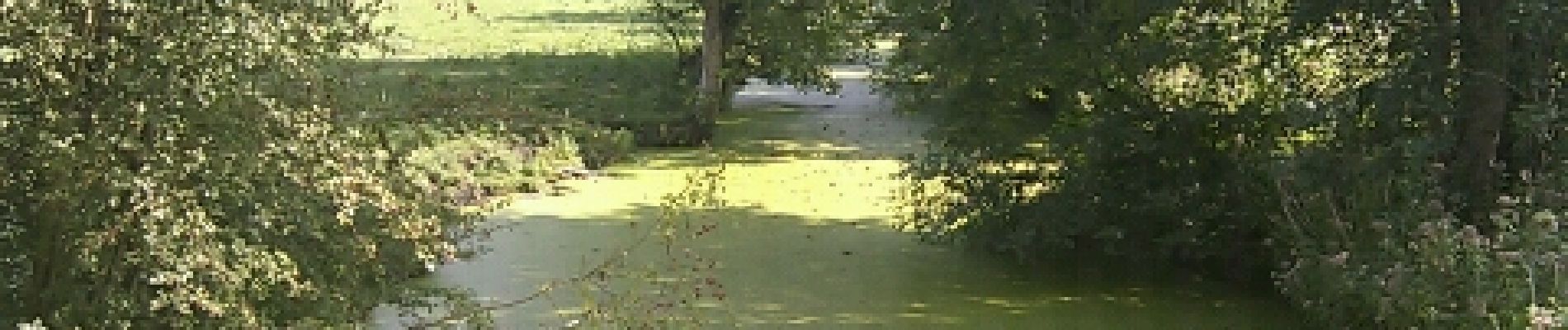
Promenade dans le marais autour du Vanneau-Irleau.Club rando Bessines 2012
Photos


Positioning
Country:
France
Region :
New Aquitaine
Department/Province :
Deux-Sèvres
Municipality :
Le Vanneau-Irleau
Location:
Unknown
Start:(Dec)
Start:(UTM)
682339 ; 5129669 (30T) N.
Comments